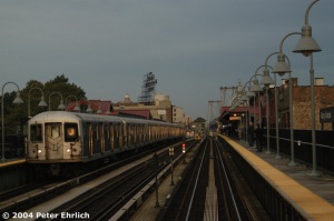
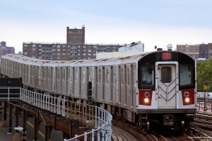
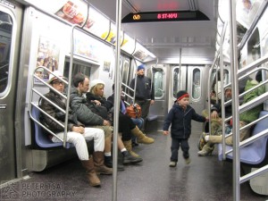
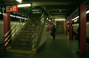
The MBTA subway, or popularly known as the ‘T’, is the rapid transit rail system of Boston, Massachusetts. It is the first subway system of the United States and hence, also the oldest.
The MBTA is the largest cosumer of electricity in the state of Massachusetts. It is also the second largest land owner. Although it is known as a subway system, it comprises of two lines which are not entirely subways: the Green Line, which is a light rail- subway line and the Silver Line, which is a Bus Rapid Transit line. All the trains are painted with the color of the line it serves. The logo of the MBTA was inspired by the Stockholm Metro, the Tunnelbana.
Lines and Routes
The MBTA comprise of 5 lines. These lines are known by the colors with which they are represented on the MBTA map: Red, Orange, Blue, Green and Silver lines.
Red Line

 The Red Line runs roughly in the north- south direction through Boston and into some of the neighboring communities. Starting from the west of Boston, the terminus station is Alewife Station, located in Cambridge, Massachusetts.
 At the south of downtown, the line splits into two directions. The split occurs at JFK/ UMass station. One branch leads to Braintree station and the other branch leads to Ashmont station. Following Ashmont station, the Ashmont- Mattapan High Speed Line leads to Mattapan station. The Ashmont branch mainly runs vintage streetcars which have been abandoned by older or defunct transit agencies, the most popular being the PCC streetcars. The line is mainly underground, except for a portion which runs over the Charles River. The power drawn by the trains on this line is by third rail.
Orange Line
 The Orange Line runs from Forest Hills in Jamaica Plain, Boston in the south to Oak Grove in Malden, Massachusetts. Prior to the construction and opening of Orange Line, an elevated rail line, known as the Atlantic Elevated Rail Line used to run in this route. The elevated line was eventually torn down, and the Orange Line was constructed. The Orange Line is totally underground. Like the Red Line, the trains in the Orange Line also draw power via third rail. During the Big Dig in the 1990s, many stations in this line underwent major renovations, including Haymarket and North Station.
Blue Line
The Blue Line runs runs from northeast to southwest. Until the construction of the Silver Line, this was the only line in the T which connected people to Logan International Airport at Airport Station. Although this station is not located within the airport, a free shuttle is available from this station to the airport. The electrification of the trains on this line is via overhead lines as well as third rail. The termini are Wonderland Station (Revere, Massachusetts) in the northeast and Bowdoin Station (near Beacon Hill) in the southwest.
Green Line

 The Green Line is a light rail-subway line. It is the most highly used light rail system in the United States. This is also the oldest line in the entire system. The Green Line is a result of renovation and conversion of the old streetcar lines in Boston into light rail lines. The Green Line consists of four branches, where the system serves as a light rail. Three of the four branches converge at Kenmore station, and it is from here that the light rail system goes underground and functions more like a subway. Although the light rail system is the result of the old streetcar lines, most of the streetcar lines were removed from Boston, as the construction of a subway system was planned.
Silver Line
 The silver line, though considered to be a part of the subway, is actually a bus rapid transit line. It consists of two sections: the first runs from Dudley Square in Roxbury to downtown Boston, Massachusetts and South Station, mostly via Washington Street, with buses operating in reserved lanes; the second runs from South Station to several points in South Boston and to Logan Airport in East Boston, partly in a dedicated bus tunnel and on dedicated surface right-of-way. The buses fleet consists of 40 ft buses as well as 60 ft articulated buses. These buses are primarily dual- mode buses: they run via electrification through overhead wires as well as Compressed Natural Gas. Unlike the usual fare system in case of buses, fares for the Silver Line are to be payed before boarding the bus via kiosks. A ticket needs to be purchased for the Silver Line which serves as proof-of-payment from the street level stations. However, there are turnstiles in the underground stations.
Fares and tokens
The fare is paid either via a Charlie Ticket or a Charlie Card. A Charlie Ticket costs $2 and consists of a single trip along with one free transfer from a bus to the subway, or from one subway line to another, but not from a subway to a bus. A Charlie Card is a transit card in which an amount can be stored. Each trip via a Charlie Card costs $1.70 along with a free transfer. The transfer conditions are same as that of a Charlie Ticket.


